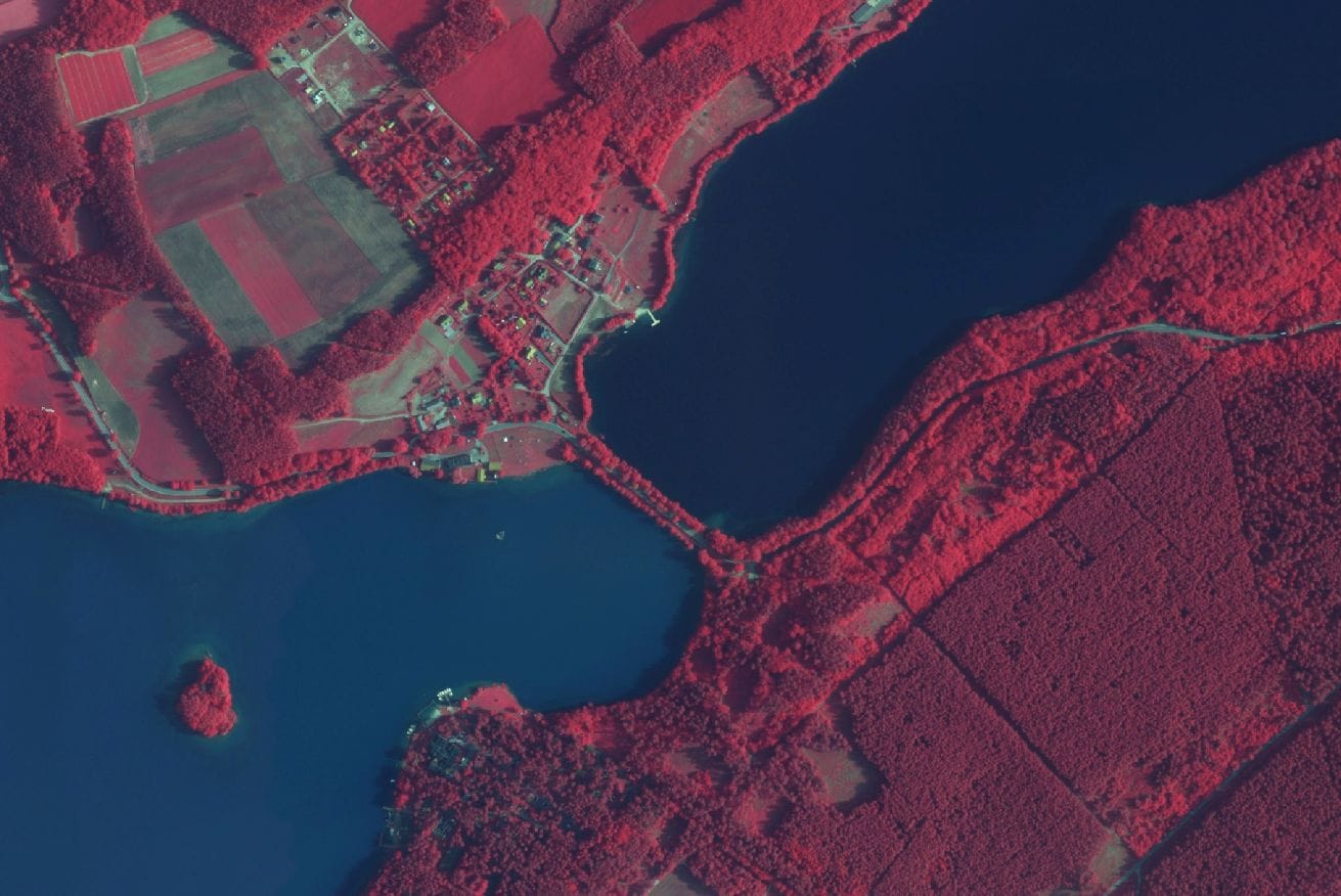
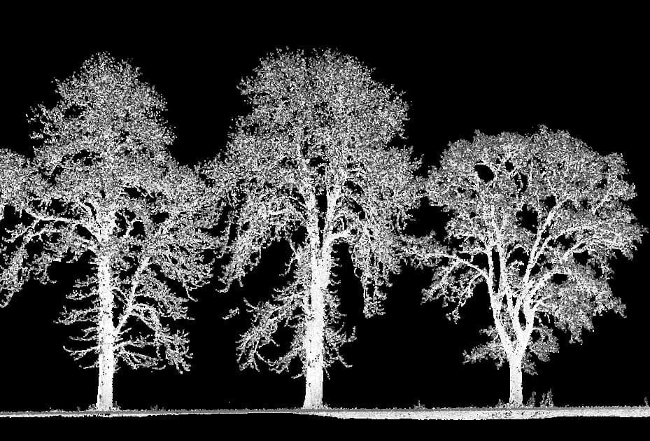
The geospatial data we collect allows us to prepare various specialized environmental analyzes. They make it possible to track changes of a natural and anthropogenic nature.
Our team of specialists in the field of aerial photogrammetry and remote sensing regularly cooperates with representatives of Polish and foreign universities. As a result of this cooperation, we prepare complete remote sensing analyzes. These include, for example: analysis of the dynamics of changes in land cover, structure and species composition of tree stands, identification of crops and assessment of the health condition of stands and agricultural crops.
However, we do not limit ourselves only to the data obtained with our aviation sensors. We also use up-to-date and archival satellite imagery for our studies. This allows us to expand the range of studies with multi-time analyzes, e.g. for the needs of precision agriculture. Thanks to this, we can also offer studies made for large areas in a very short time.
In turn, thanks to the use of mobile laser scanning, we are able to perform a quick and precise inventory of urban greenery. Performing a measurement with the use of a measuring car allows us to obtain information about the full geometry and location of trees and shrubs. It also allows us to identify species thanks to the use of 360 photos. Thanks to this technology, we can offer a complete measurement in a very short time. In the case of an avenue of trees, it can be even several tens of running kilometers in one day. But most importantly, using this technology it is possible to perform measurements in areas where traditional GNSS receivers fail.
Finally, studies supplemented with data obtained from terrestrial laser scanning and the results of classic geodetic measurements constitute a complete information base for effective management and environmental protection.
The main recipient of dedicated studies in the form of high-resolution multispectral aerial images, orthophotomaps most often in R G B, NIR, Red Edge and thermal infrared channels, as well as altitude data from air laser scanning are the State Forests, national and landscape parks, insurance companies and other institutions related in particular to management and protection of forest, agricultural and urban green areas.


