Transmission network managers need up-to-date and reliable information about the location and technical condition of their infrastructure. Using the capabilities of all our measurement technologies, we provide complete and accurate geospatial information about the terrestrial and underground utilities networks.
In many cases, the basis are high-resolution orthophotomaps in real colors, or more specialized ones made in the infrared thermal band. If it is necessary to perform a large-scale 3D inventory, aerial laser scanning will be irreplaceable. The point cloud and its derivatives enable an in-depth analysis of the technical condition of power lines. Its additional advantage is the ability to detect collisions with other objects. This type of data can be considered the basic material for effective management and monitoring of network assets.
If it is necessary to conduct an inventory of a network with a length not exceeding several dozen kilometers, our UAV may be the best solution. Its equipment with a high-class laser scanner, a high-resolution RGB camera and a multispectral camera allows to obtain comprehensive information.
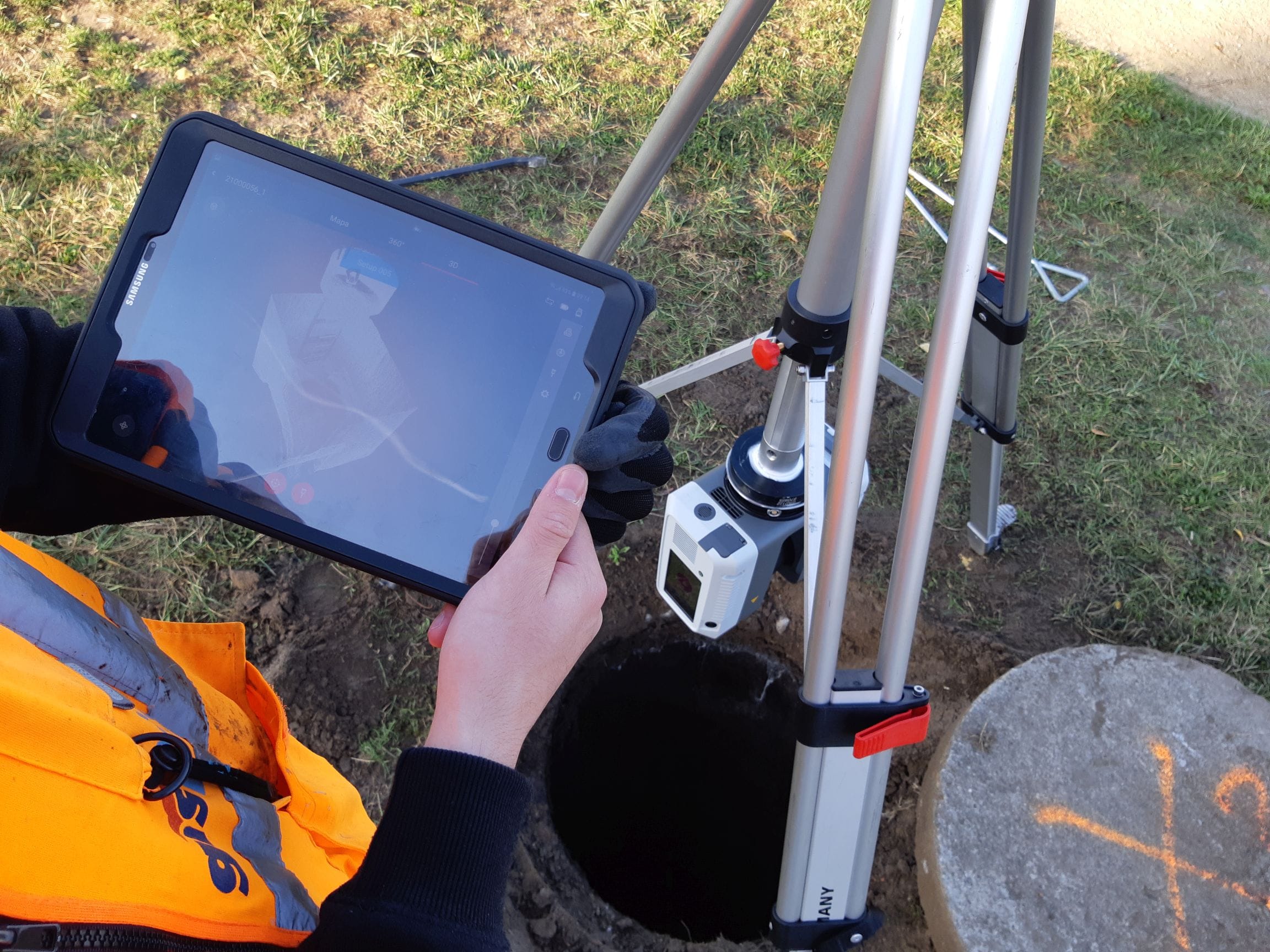
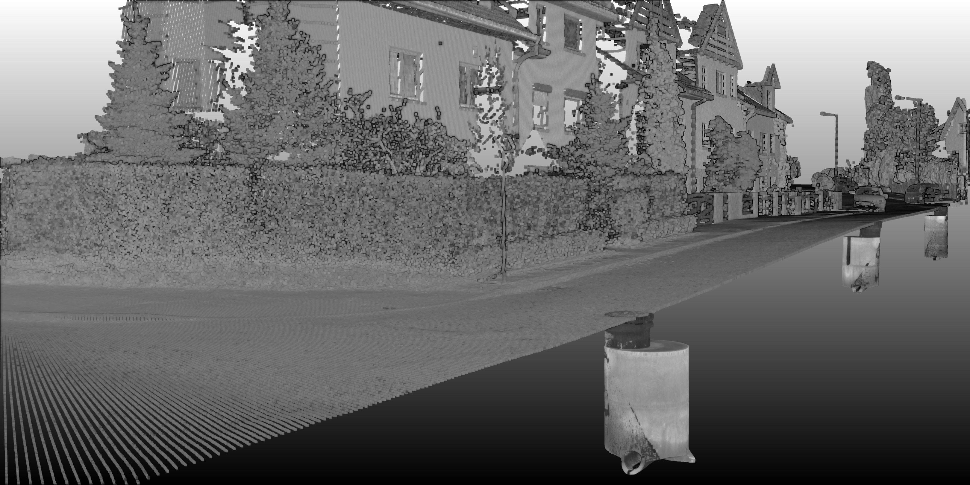
Our ground scanners can also be used in the inventory of cubature objects. Their use allows not only the precise dimensioning of each element, but also a visual assessment of the technical condition thanks to the use of an RGB camera integrated with the scanner. This technology turned out to be irreplaceable in the implementation of works commissioned by Zakład Wodociągów i Kanalizacji in Szczecin. As part of a several-year project, we have scanned and delivered up-to-date documentation of 30,000 wells and underground chambers of the sanitary network.


