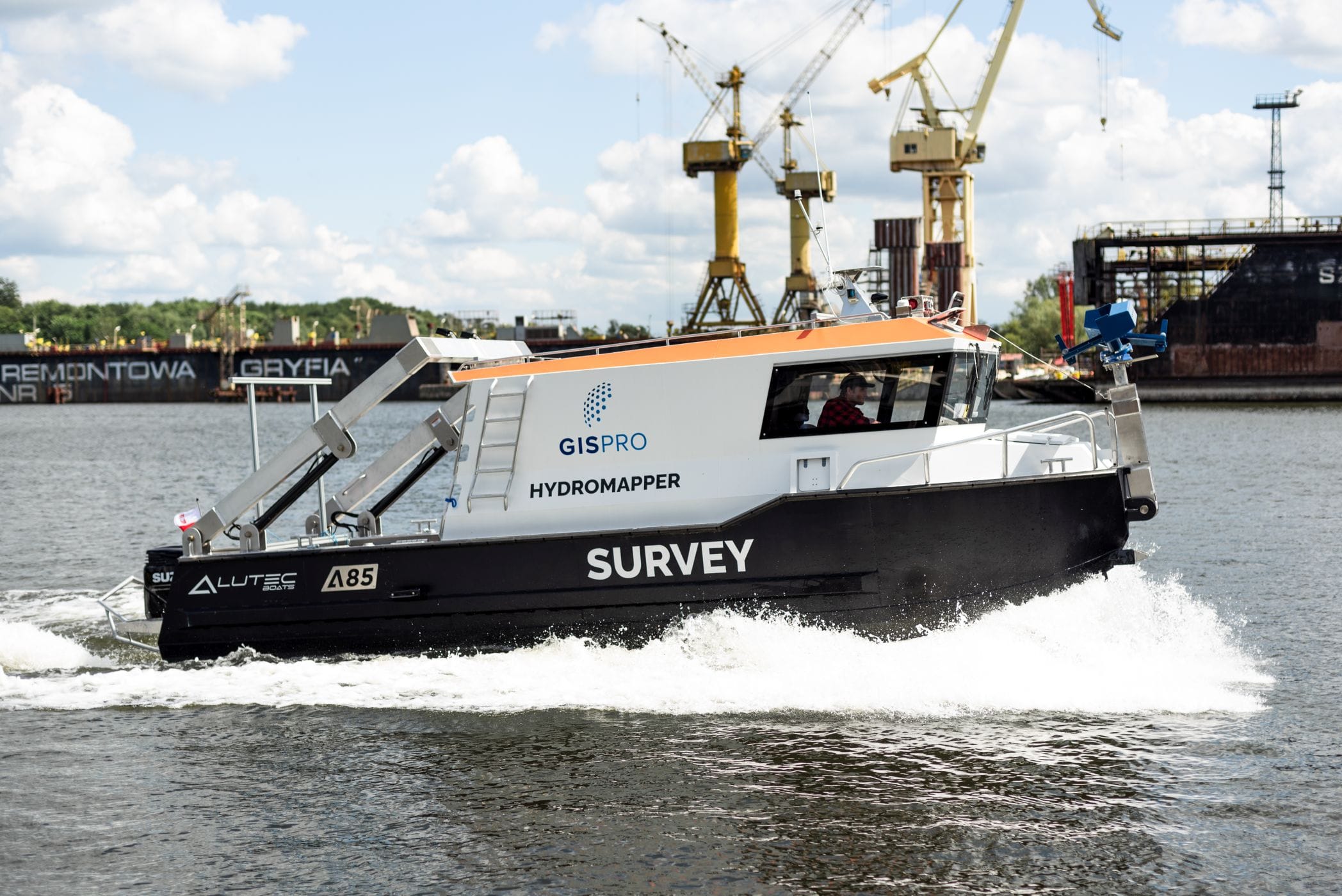
Creating hydrographic maps, studying natural and anthropogenic reservoirs, ensuring the safety of sea and inland navigation – these are just some of the tasks faced by modern hydrographers.
In recent years, the idea of activating the activity of inland navigation has been clearly noticeable. An inseparable element of their implementation is carrying out measurement works, in particular bathymetric and/or sonar works. Traditional technology, however, makes it impossible to obtain a complete picture of the seabed topography. The most popular hydroacoustic equipment solutions offer measurement at a depth of min. 0.5 m, however, due to the risk of grounding, areas with depths less than 2 m are usually measured by hand using measuring poles, single beam echosounders or handheld probes. However, these methods are very time consuming.
In response to the demand for bathymetric measurements of shallow waters, we use an air bathymetric scanner. Thanks to the use of this technology, we are able to obtain consistent topographic data and bathymetric data during one flight, which, combined with data from our hydroacoustic systems, create a complete final product showing the shape of the bottom on the entire measured body of water.
If the required product, next to the bathymetric board, is a sonar report or a sonar mosaic showing the bottom, we can perform hydroacoustic trawling at the same time using towed sonar, which significantly shortens the service time and positively affects its economy. Additionally, for the time of measurements, our boat can be equipped with a mobile laser scanning system, which will enable obtaining information about the geometry of above-water engineering structures.
Finally, navigating waterways is directly related to dredging works and environmental analyzes, in this case the necessary information to obtain are three-dimensional images of shallow subsurface layers and bottom sediments.
The sentimentation data obtained by us using a sediment profiler enable the assessment of environmental conditions for the management of geological resources of waters, including the identification of buried geohazards such as underwater landslides, gas infiltration, classification maps of seabed habitats and determination of seabed sedimentary environments for the development of environmental models and benthic habits.
All obtained data can be used to prepare a GIS database, which can be presented using our own tools enabling effective work with raster, vector and 3D data.


