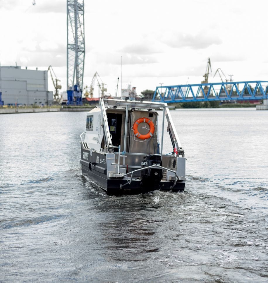
The main task of hydrography is to create and update marine and inland navigation maps in order to ensure the safety of navigation. Currently in Poland we are observing a continuous development of port infrastructure and works on navigating key for the economy and at the same time the largest rivers in our country: the Vistula and the Oder.
In response to the growing demand, we perform bathymetric and sonar measurements in the coastal zone of sea areas, in ports and in inland waters (rivers, lakes, artificial water reservoirs). For tests, we use measuring units equipped with high-class hydrographic devices, among others sonar system, subbotom-profiler, dual head multibeam echosounder. We use the USBL Underwater Positioning System to determine the exact position of the sonar underwater.
We provide: bathymetric charts, underwater inspections, cubature calculations, Numerical Terrain Models of bottom areas, final reporting documentation. We also search for and locate underwater objects and check the cleanliness of the bottom.
In conjunction with data from mobile laser scanning from the boat deck, we can offer bottom models with the entire infrastructure and elements around the reservoir. In turn, to obtain information about the geometry of shallow water reservoirs, we can offer air bathymetric scanning, which perfectly complements traditional bathymetric measurements.


