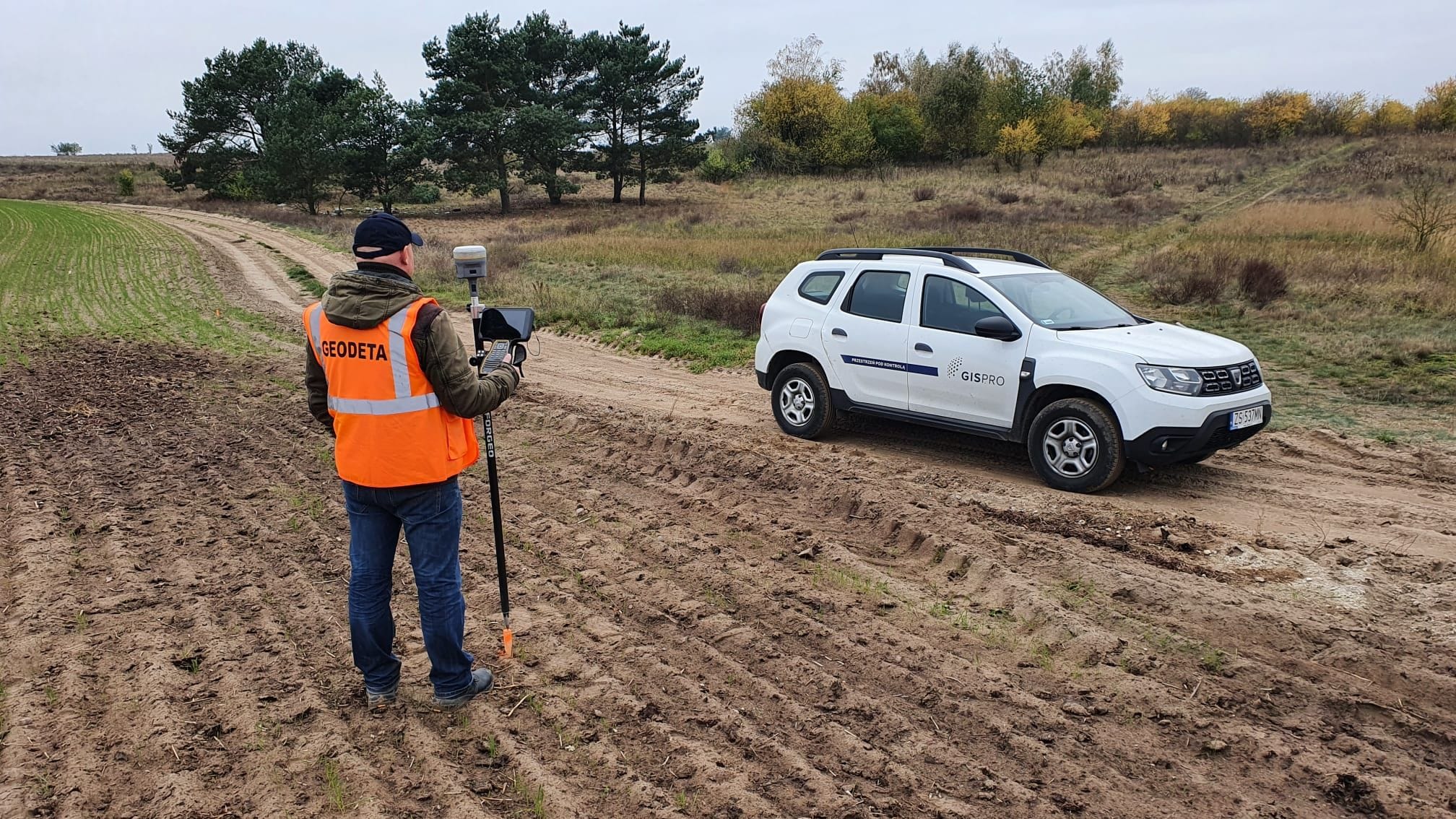
Each construction process begins with a landscaping project. In order to be able to design future solutions correctly, a map for design purposes is essential. The map for design purposes is made on the basis of the basic map supplemented with the current terrain situation. It is an indispensable element of each planned investment.
We mainly make maps for design purposes for linear investments such as roads, railways or transmission networks. We also make orthophotomaps for each map, which, together with the map, gives a comprehensive picture of future investment activities. In the case of areas that are difficult to access for traditional measurements, we use laser scanning technology.

