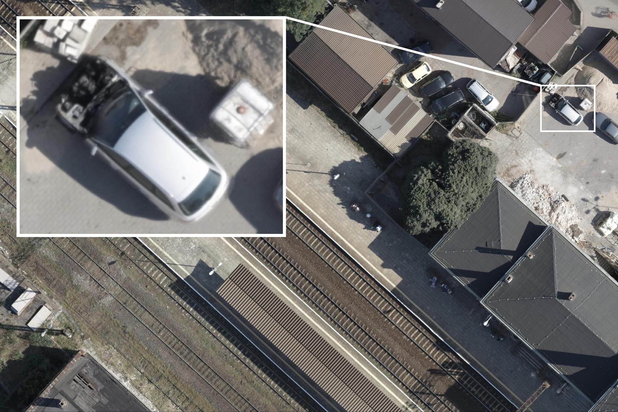
The orthophotomap is one of the most popular photogrammetric products with enormous information and interpretation potential. Orthophotomaps are used in administration in all sectors of the economy, including in the area of security and crisis management, environmental protection and spatial planning. With the development of airborne sensors, the acquisition of photos and the development of orthophotos has become more effective, and thus cheaper.
We have extensive experience in developing orthophotomaps based on aerial photos recorded with our manned and unmanned platforms. So far, we have completed projects covering an area of nearly half a million square kilometers. Depending on the needs of our clients and the purpose of the product’s use, we offer studies with a field resolution from 1 to 50 cm GSD, in particular in spectral channels R G B NIR, RE, but also in thermal infrared. In addition, we offer the creation of orthophotomaps based on hyperspectral photos. Our studies are used, among others, by The Agency for Restructuring and Modernisation of Agriculture (ARMA) to periodically modernize and update the databases of the LPIS system.

