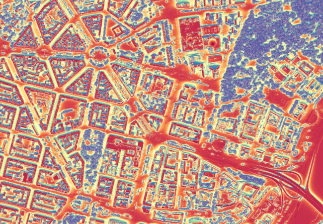
On the basis of the numerical model of land cover generated from the cloud of points of airborne laser scanning and orthophotomap, as well as meteorological data, we develop solar maps.
Following the growing popularity of the installation of photovoltaic panels, it is necessary to provide information about the solar potential and estimating the energy obtained from part of the roof of the building. The insolation of a single roof is determined using data on the orientation and slope of the roof, elements placed on it that reduce the surface on which the solar collector can be placed and the adjacent objects (buildings, trees) causing shading. The analysis prepared in this way provides reliable information for individual investors, companies selling and installing photovoltaics and local governments implementing a policy of implementing renewable energy sources.
In addition, we support architects and town planners in the analysis of the impact of the implementation of a new investment on the shading of neighboring buildings and we prepare “shadow maps” of areas adjacent to high-rise buildings.

