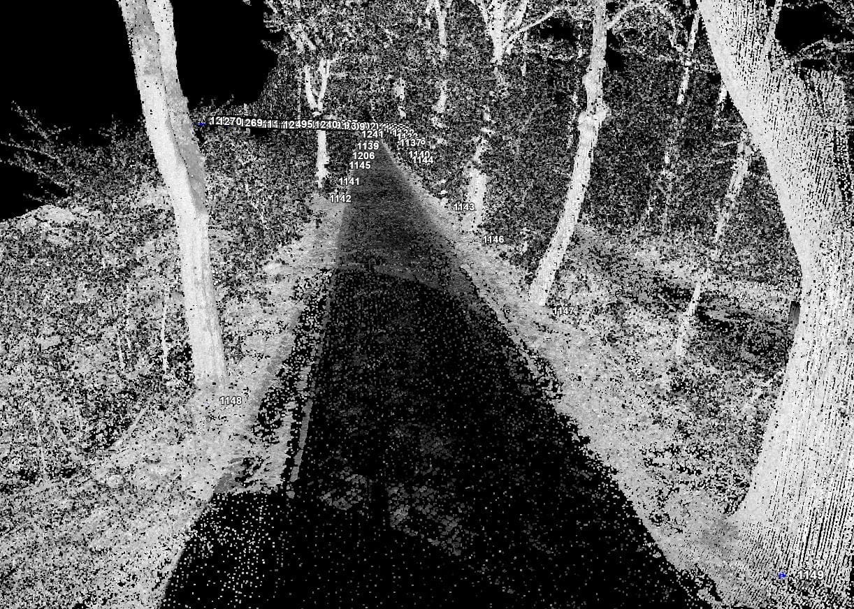
Tree Crown Map is a graphical presentation of the results of remote sensing analyzes. For their needs, we use data obtained from our aviation platforms. In particular, these are high-resolution multispectral raster data and LiDAR point clouds. As a result, it is possible to remotely obtain basic parameters, such as location, species and health status of each tree. Inventory of this type is carried out for large areas, which makes it homogeneous and is an excellent source of information for units dealing with the management and maintenance of green areas in the city, or on larger areas.
In addition, on the scale of the city, we can supplement the information with a number of additional attributes, such as the breast-height circumference, height to the crown, or the height of the tree itself. We use data from our mobile system to obtain them. This method of greenery mapping is carried out with the use of a set of laser scanners mounted on a measuring car or other means of transport.


